South America 2024-202x
unknown length - solo travel - Suzuki DR650

Santa Ana and Caspalá

May 15, 2024  —  Argentina

Road from Serrania del Hornocal to Santa Ana

Road from Serrania del Hornocal to Santa Ana - Argentina

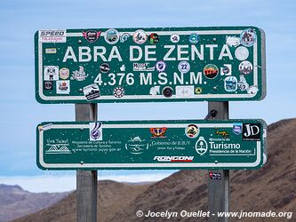
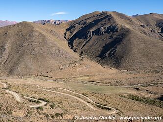
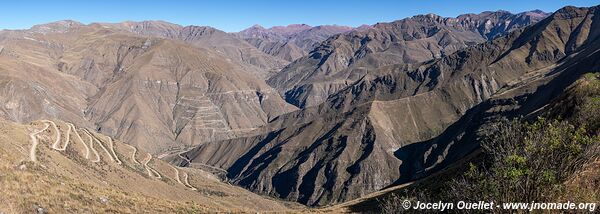
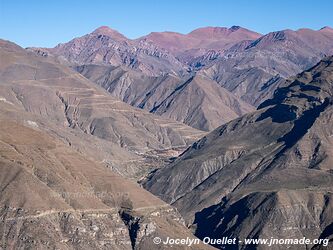
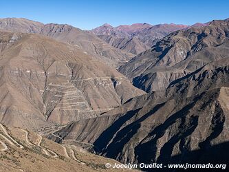
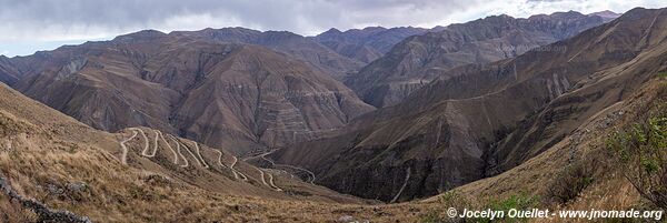
From the town of Humahuaca, the road leads to the splendid Serrania del Hornocal, then through a series of mountain passes where the scenery is spectacular. The road to Santa Ana leads to altitudes of up to 4,622 metres.

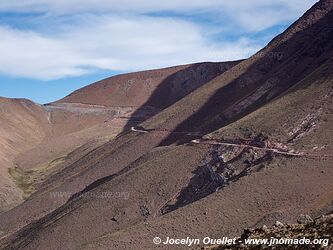
The climate here is harsh, with high winds and biting cold, but the road winding through the mountains is an incredible sight. Beyond the mountain range, the plain can be seen in the distance, with a floating cloud cover halfway between the high peaks at over 4,000 metres and the lowlands at less than 1,000 metres.

Road from Serrania del Hornocal to Santa Ana - Argentina
The lonely road crosses the mountainous desert.
Road from Serrania del Hornocal to Santa Ana - Argentina
Beyond the mountains, you can see the cloud layer over the lowlands.
Road from Serrania del Hornocal to Santa Ana - Argentina
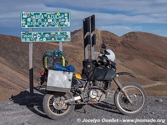
Abra Azul, altitude 4550 metres, Jujuy.
Road from Serrania del Hornocal to Santa Ana - Argentina
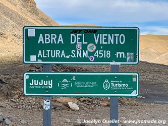
Abra del Viento, altitude 4518 metres, Jujuy Province.
Road from Serrania del Hornocal to Santa Ana - Argentina
line-separator

Santa Ana

Santa Ana - Argentina

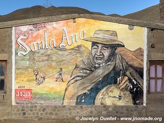
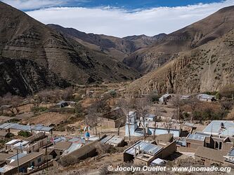
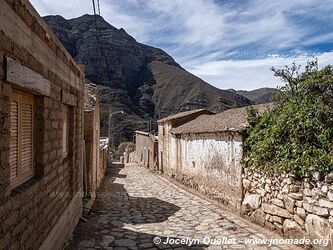
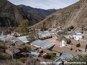
The small village of Santa Ana has fewer than 1,000 inhabitants and lies at an altitude of 3,320 metres. It's a quiet, rustic place with picturesque scenery all around. Despite its small population, the village has a few guesthouses for travellers.

Santa Ana - Argentina
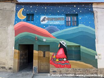
Magnificent painting at the La Luna hostel, where I spent a few nights.
Santa Ana - Argentina
line-separator

Trail from Santa Ana to Caspalá

From Santa Ana to Caspalá - Argentina

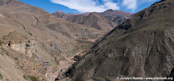
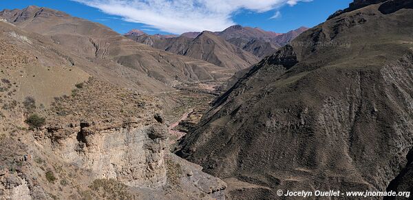
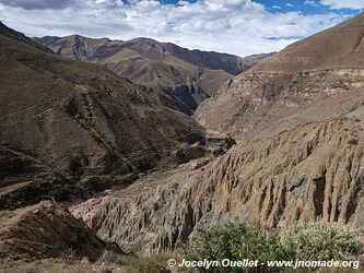
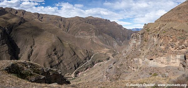
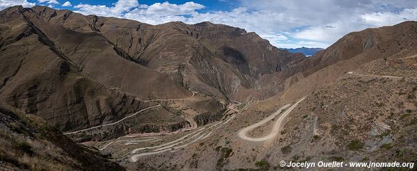
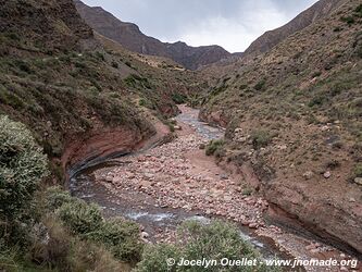
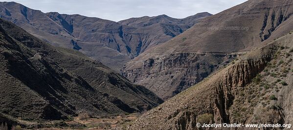
The road to the small village of Caspalá is impressive. Although this community is only around 10 km from Santa Ana as the crow flies, you have to cover more than 30 km of tracks because of the difference in altitude on a road that winds through the mountains.

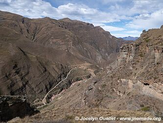
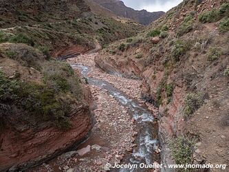
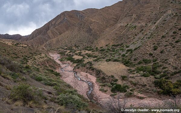
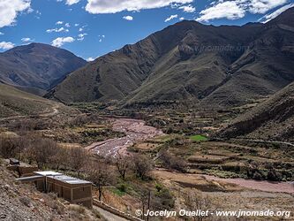
From Santa Ana, you have to descend a canyon some 800 metres to the river Caspalá before climbing back up to the village of Caspalá. The gravel road is extremely winding and you have to drive slowly, as there are no guard rails and the precipice is very steep.

From Santa Ana to Caspalá - Argentina
The track descends to the river before climbing back up to the village of Caspalá.
From Santa Ana to Caspalá - Argentina
line-separator

Caspalá

Caspalá - Argentina

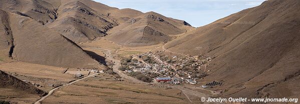
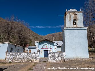
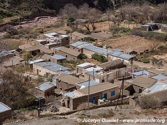
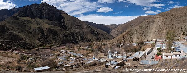
An isolated mountain village surrounded by peaks over 4,000 metres high, Caspalá has only been accessible by road since 2008. According to 2022 statistics, it had a population of just 326.

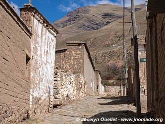
The village is pretty, but its main attraction is the mountains that surround it and the road to get there.

Caspalá - Argentina
Caspalá - Argentina
Caspalá - Argentina
Caspalá - Argentina
Caspalá - Argentina
Caspalá - Argentina
Caspalá - Argentina