

On the road #3

Here are a few landscapes from northwestern El Salvador.
Despite the fact that the dry season is not even halfway through, the lack of water is already quite obvious.


Cerro El Pital

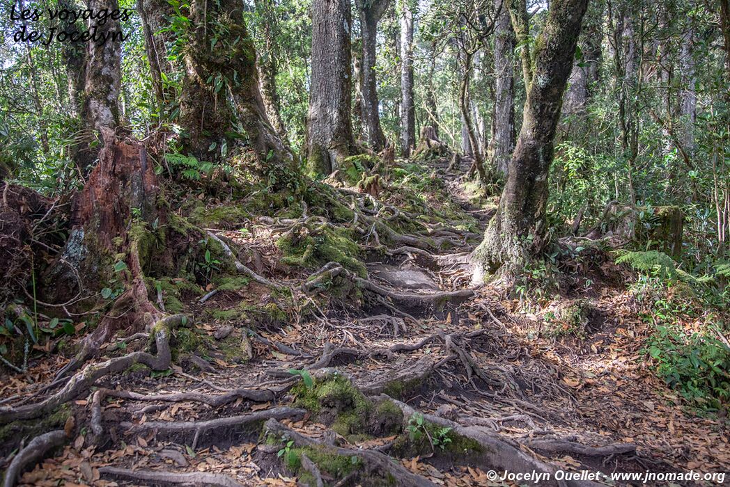
Cerro El Pital is the highest summit in El Salvador with 2730 metres. Its peak is partly covered by a cloud forest and the vegetation is quite luxuriant. The mountain is located at the border of El Salvador and Honduras, and its summit marks the boundary between both countries.
During my hike, the scenery in the forest was magnificent. However, I didn't have the chance to enjoy the landscapes all around since the clouds were too dense that day (a frequent occurrence in a cloud forest).


The border between El Salvador and Honduras go through this marker.


At first glance, this tree trunk only seems to be an easy way to cross a small depression on the ground. When crossing, the danger of this passage becomes more evident. The photo to the right shows the fault that needs to be crossed... Be careful not to fall, the fault is several metres deep, and also very narrow.


